New Satellite Views of the Earth
@chhaganbhujbad (263)
United States
February 20, 2007 9:30pm CST
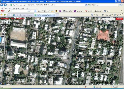
Just like google Earth or Microsoft Virtual Earth, there is another same Earth stuff from the makers of the famous online Encyclopedia the Wikipedia. This time the Wikipedia people have come up with some new cool stuff which is known as www.wikimapia.org. This is a cool feature allows you to view the areas of the earth giving the name of the roads, the buildings and the environment. Plus I think it goes pretty zoomed in. The best thing about it just as in Wikipedia you can edit stuff, in this online map viewing thing, you can add the places as well... For example, if you live in a locality whose name is not mentioned in the map, you can go ahead and click on Add Place and it will allow you to write the name of the building by clicking Save... This is cool. Here's an image for you all to see it.
No responses


